Turning off the highway, we enter a back country forest service road, part of the Crowsnest Pass district in southern Alberta. Todays objective is to explore a nearby mountain pass that has been on our to do list for quite some time. The pass is supposedly meant for OHV (Off Highway Vehicles) and is a dirt road all the way to the top.

The winding road appears to be worsening the farther from the highway we get. Potholes and corrugations litter the ground and we are forced to reduce speed. We pull over at the first clearing to let pressure out of the tires. Doing this allows a bigger tire footprint which increases traction and provides a softer overall ride. Tire deflators and an air compressor are highly recommended pieces of equipment before attempting any 4X4 trail.

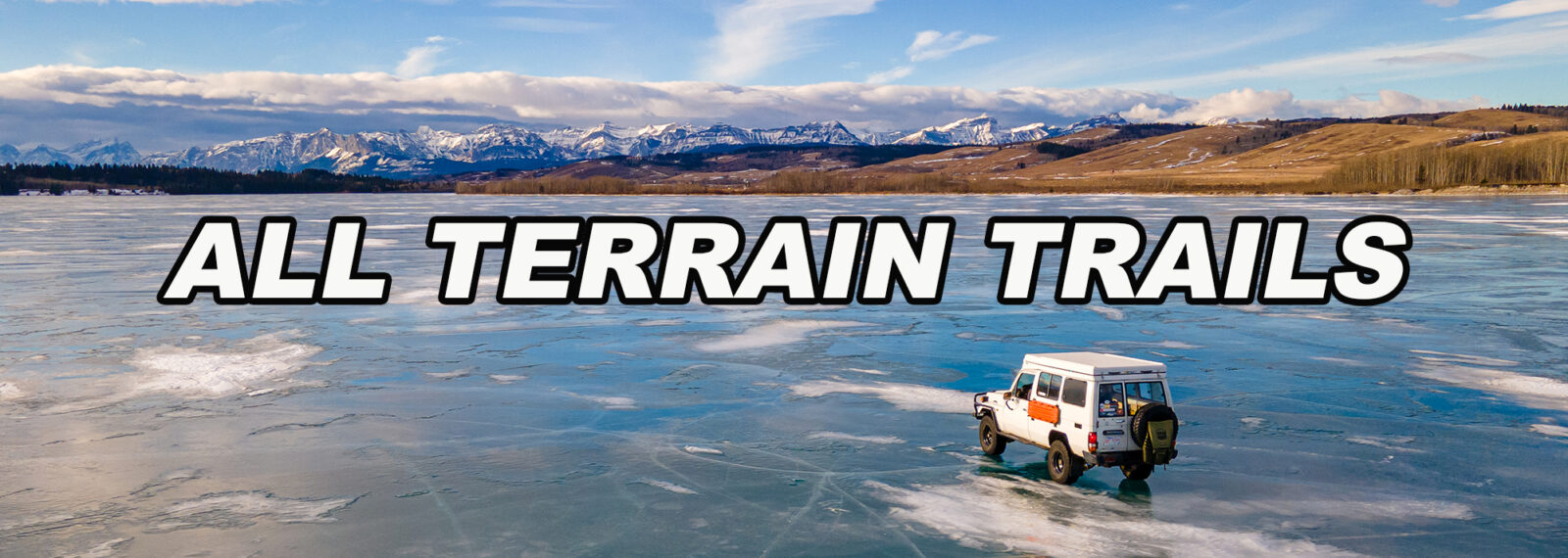
Our GPS states that we are approaching the trail head. Fresh rain fall saturates the ground and the forecast calls for thundershowers later in the afternoon. We may be in for a slippery climb! The road forks and to the left is our trail. 4Low is engaged and with a tire pressure of 18 psi, we’re ready to roll.

Our first obstacle appears very quickly. The trail becomes washed out from heavy rainfall and wheel sized ruts consume our 33″ BFGoodrich tires The 4runner handles it with little drama. The washouts and ruts continue for about 2 kilometres then begin to reside when dirt turns to shale rock.

As we climb higher and higher, the tree line begins to fade and the wind picks up. Photo opportunities become abundant with the high alpine terrain.

Around the next bend, a tall thin waterfall will catch your eye. It starts at the top of a mountain ledge and falls several hundred feet into the abyss of trees and rocks below. At this point, we are about 2300m (7545 ft) above sea level. The tree line is well below us and all that is left is a narrow trail cut into the side of the mountain. Higher we climb still.

This photo gives you a good sense of the type of terrain you will encounter. Slippery shale rock and an increasingly narrow trail with no room to turn around, mixed with a drop off to one side and a vertical mountain face to your other side makes this one of Alberta’s most exhilarating trails. Past the tree line the views become endless, reaching out over multiple mountain ranges. Carful not to wander to close to the edge!

Protruding rock formations may push you closer to the edge than you’d like. keep the wheel steady, always look where you want to go and have confidence! The top is near.

A barbed wire fence will meet you at the top once you’ve made it. Time to celebrate with some lunch! There is just enough room at this point to do a three point turnaround to start heading back down the pass. This is an out and back trail, 7.5 kilometres in length lasting about 1 hour. depending how often you stop. During the drive, you will gain 825 meters in elevation from the trail head to the turn around point. It is not recommended to drive this trail in poor weather conditions. Enjoy the beauty of Alberta!
Want to go here? Coordinates for this trail are available for purchase at $7.00 per trail. Contact us at johannesasteudel@gmail.com for more information. Thank you for your support.


